June 15: Day 45, Tyfors-Falun
I think I've figured out why I'm making slow starts these days: 45 minute breakfasts. I got started at 0800, made coffee, ate cereal with the milk and yoghurt and frozen berries and fruit I'd carefully carried from Hagfors. Drank more coffee. It won't be a surprise, but I also picked up three pastries - it may be a surprise that they survived the trip unscathed. Had another coffee with them, of course. And by then it was about 0845.
After that I needed to clean everything up, then the usual packing and refilling and checking and loading the bike; that took until 0930.
This part of the country is mainly forest. That's quite nice on these hot days; it feels cooler among the trees and means I'm often in shade. There's a lot of road and not many towns - though today definitely has a more than yesterday.
It was 10km to the first town (Fredricksberg) where I stopped to pick up some lunch. There were a few more towns along the way this morning but they were all smaller, so this is the best place to get something. The only supermarket in town was fairly small, didn't have sandwiches or baguettes or pastry. Or salads. I circled the fridges looking for inspiration for so long that an attendant waiting at the checkout gave up and went off to do something else. In the end I picked up a pair of quiches; I have a knife and fork so it'll work.
There's a lot of small lakes in the area. These are all surrounded by trees and mountains and all look picturesque. Sadly photos don't do them justice...


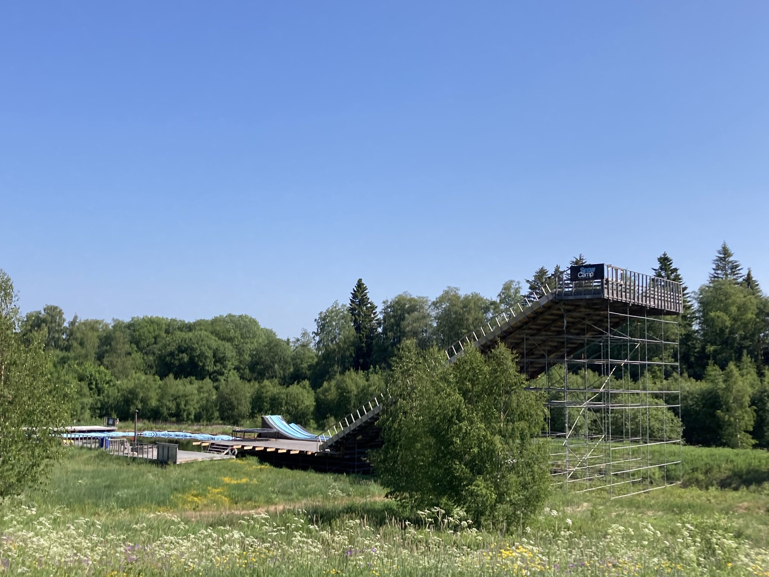
From left to right: supermarket pastries, but they’re better than no pastries. The supermarket haul. Another lake (yeah, my enthusiasm is waning too). A ramp for snow camp, but I think it’d make a fine waterslide in summer.
There's also a lot of wasps. Maybe they're attracted to the flowers on the sides of the roads? For some reason they're attracted to the bike too. I'd often have wasps fly alongside the bike, do a pass in front, maybe check out my leg, then decide it's not a flower and go. And this was at speed, on flat roads when I was going a good clip, I'm sure lazy wasps wouldn't keep up.
There's also some sort of horsefly that bites, which likes to land on my legs moments after I stop. The wasps also like to take a closer look when I've stopped, so water bottle refills can be tense. I'm pretty sure the sugar in the Powerade will attract wasps so I'm extra careful not to spill it - I have visions of a spill on the front bag and a crowd of wasps following it for the day...


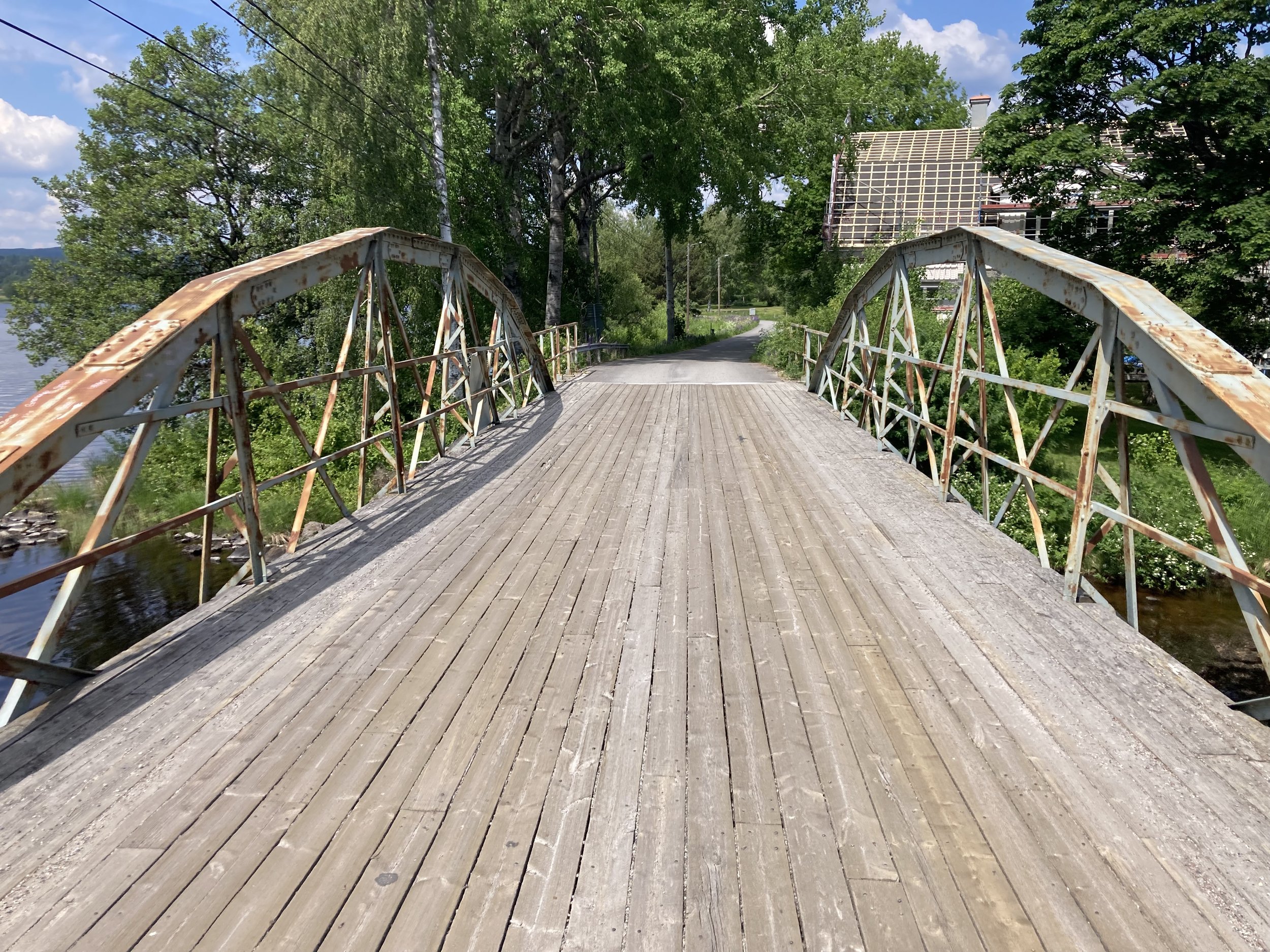

From left to right: all the flowers that attract the wasps and bees. A happy bus stop. Aging bridge. Ramen lake!
While going down one more road in the afternoon, I suddenly noticed that beside the road was an unusually nice stone arch bridge. It ran parallel to the road, and the deck was a few meters above road level: yes, there was a railway line up there. The road rose up and there were no more rails, but a gravel trail ... Not nicely maintained though; there were deep tyre tracks and plants growing everywhere. It was rough and overgrown. Also, Komoot hadn't sent me down it.
A rail trail! Always a tempting possibility. I checked the map, it looked like it reconnected with my route. Why hadn't Komoot taken it? Because gravel is slower? Or because it didn't actually connect? I couldn't see signs of people getting off the trail here, so it's probably not a dead end ...
So I took it. The trail was rough and overgrown for about a kilometer, then turned into a good gravel road. Komoot was still telling me to turn around, which is not a good sign: if a route is OK it will recognize that the fastest option is to keep going. There was a closed barrier to keep cars out; but bikes could easily go around. That might have been the blockage Komoot was thinking about because after that it was happy, and gave directions to follow the rail trail for a few more kilometers before rejoining the road. It was probably slower than the road option, but I'm still happy about it.


From left to right: the railtrail is on the right. This is how it looked initially. Then it turned into this nice gravel road.
Komoot is pretty good at avoiding busy roads, but a bit later on it took me to what looked like a highway. Fast moving traffic going each way, few gaps, no space for cyclists. I was not impressed, and poked around in the map. It looked like there was a possible alternate route down the side of it. The reason it's only "possible" is because the cycle map showed a gap in the route, and the satellite photos showed trees there ... but the highway was so offputting I thought I'd try it.
The first part was a cyclepath! Quite old too; and it wouldn't end unexpectedly, it'd connect to another road; which left me wondering what the gap could be? The answer was, a huge pile of dirt. The cyclepath ended at a construction site, but this dirt pile had been there for so long there was a clear track around it. A lot of people and bicycles have come this way before me. After getting around it, and navigating another small obstacle or two, I was able to cross the road to where an actual long distance cyclepath started. Success!
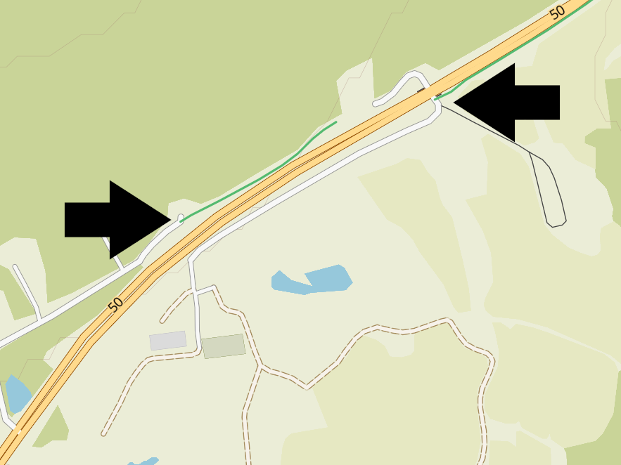


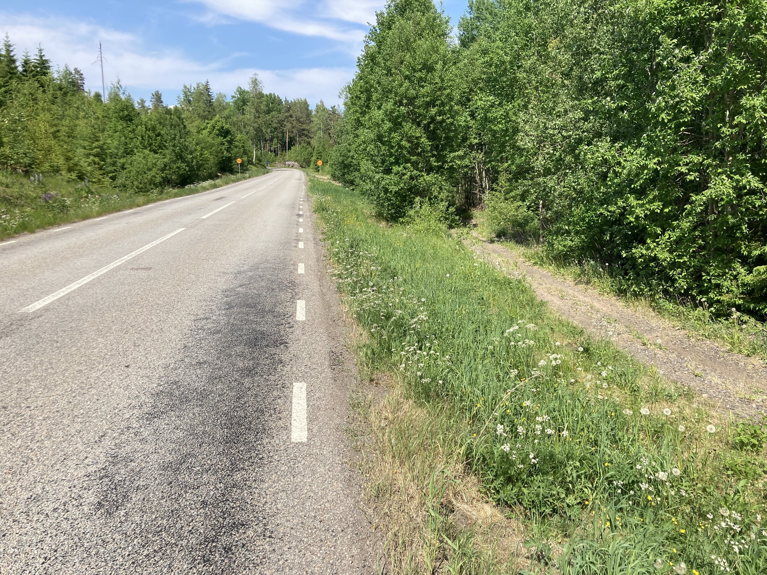
From left to right: how to get from the lefthand arrow, to the righthand one; the yellow is the highway. The pile, and track around it. The highway I didn’t want to join, and on the right the path that worked.
And happily, there were long distance cyclepaths for all of the ride into Falun. Hopefully there will be more on the ride tomorrow.
What I’m listening to: The Best is yet to come / Aoife Fhearraigh: https://www.youtube.com/watch?v=OhFoRmabWpE