May 13: Day 16, Caldes de Malavella-Saint Cyprien
Both Apple and Google's weather forecasts claimed there was a low chance of rain all day, but at breakfast it started. I wish I hadn't cleaned my gear that carefully, since it's going to get muddy again today...
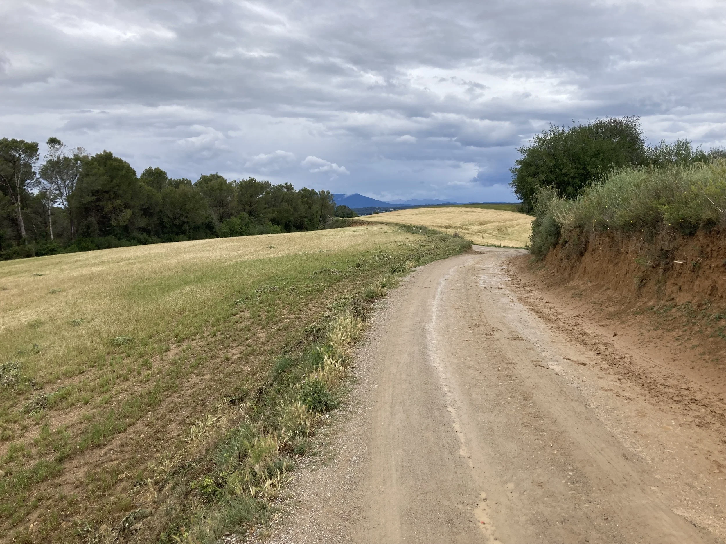
It was so cold and grey I started out in jersey and raincoat. In the beginning it was fine; the rain had paused, and the atmosphere was clear and you could see for miles.
The route went from asphalt to fine hard-packed gravel. All good so far; I could make good time on it.
From left to right: setting off, in full wet weather gear. No rain so far, and the vew was good. Hardpacked gravel - good surface. Except for the spray.
Then I came to Girona. And it was jammed with people! I didn't stop to find out why; but it was so crowded I had to go at walking speed. I also went the wrong way and had to patiently paddle through people until I got back to the river.
From left to right: a brief section of rail trail. Girona; I didn’t have a picture from when it got really packed. Girona river. State of the bags.
After that things went bad. The route went up a country lane; there was a steep climb and my front derailleur wouldn’t change down.
From left to right: the view was good. The route was getting worse. And worse.
And the road got deeply muddy. No photos, just staying on the bike was hard work! There was so much mud I had the back tyre slip when I put too much force down. And I had the front tyre slide sideways, and came off the bike. No damage fortunately, and I avoided falling into the mud. But that’s the first time I’ve dropped the bike this trip.
I crossed paths with another bikepacker coming the other way - they dismounted and started walking when they saw me … I didn’t think I was that muddy?
I stopped for lunch in Bascara a bit after 1300. I was making very slow progress; Komoot thought this was 3h from the start but I’d taken nearly 4. I got moving again a bit before 1400, five hours remain, so that means arriving at 7 - and 8 ... The route was apparently asphalt almost all the way, but that’s not trustworthy; and anywhere it’s not asphalt would mean losing more time. Not looking good.
But after lunch the sun came out, and I could put away the raincoat and jersey and felt more positive about everything.
From left to right: sunny! A castle; sadly a modern recreation. Love the view; not so thrilled that I’m climbing over those mountains. More abandoned buildings.
I was heading for Saint Cyprien which was just on the other side of the border - and the Pyrenees. On the route there were two peaks, a smaller one first to warm up, then a bigger one. The peak wasn’t anything like the 1000m climb back in the day, but it was the end of a long day so I didn’t want to underestimate them either.
The first climb was mostly gravel. Had to push the bike up a few slopes - that front derailleur really didn’t want to cooperate. Finally the view opened out … revealing a huge truck park and roundabout at the foot of the climb over the Pyrenees. Not a good sign…
There were two roads over; I was taking the older road which should be long and slower and have less traffic. The cyclepath was usually generous but there were a few spots when it got too narrow for my comfort. There was also a strong headwind, again; so I had to go slow and steady and couldn’t really push.
I was keeping my eyes open for the sign saying I’d entered France, so I could get a selfie: there was one saying “1km to go!”, I was tempted to get a picture with it but there wasn’t a safe place to stop, and there would presumably be one at the border.
From left to right: the view from the first climb. Looking down at the start of the climb. The road up. The former border. Bridge on the way down.
At the border there was a small town. There was a nice sign indicating you were entering Spain, but that’s not what I needed. I had a very careful look for France signs, and even went back to the border to re-check: nothing. Maybe it was further along? My route split from the main road (thankfully, there wasn’t enough cyclepath) and took a very winding route; it never got too steep and I had it to myself so I didn’t mind at all. Still no signs…
At the bottom of the descent I gave up and got a selfie with a French roadsign.
From left to right: In France! Good flat roads. And the weather improved too.
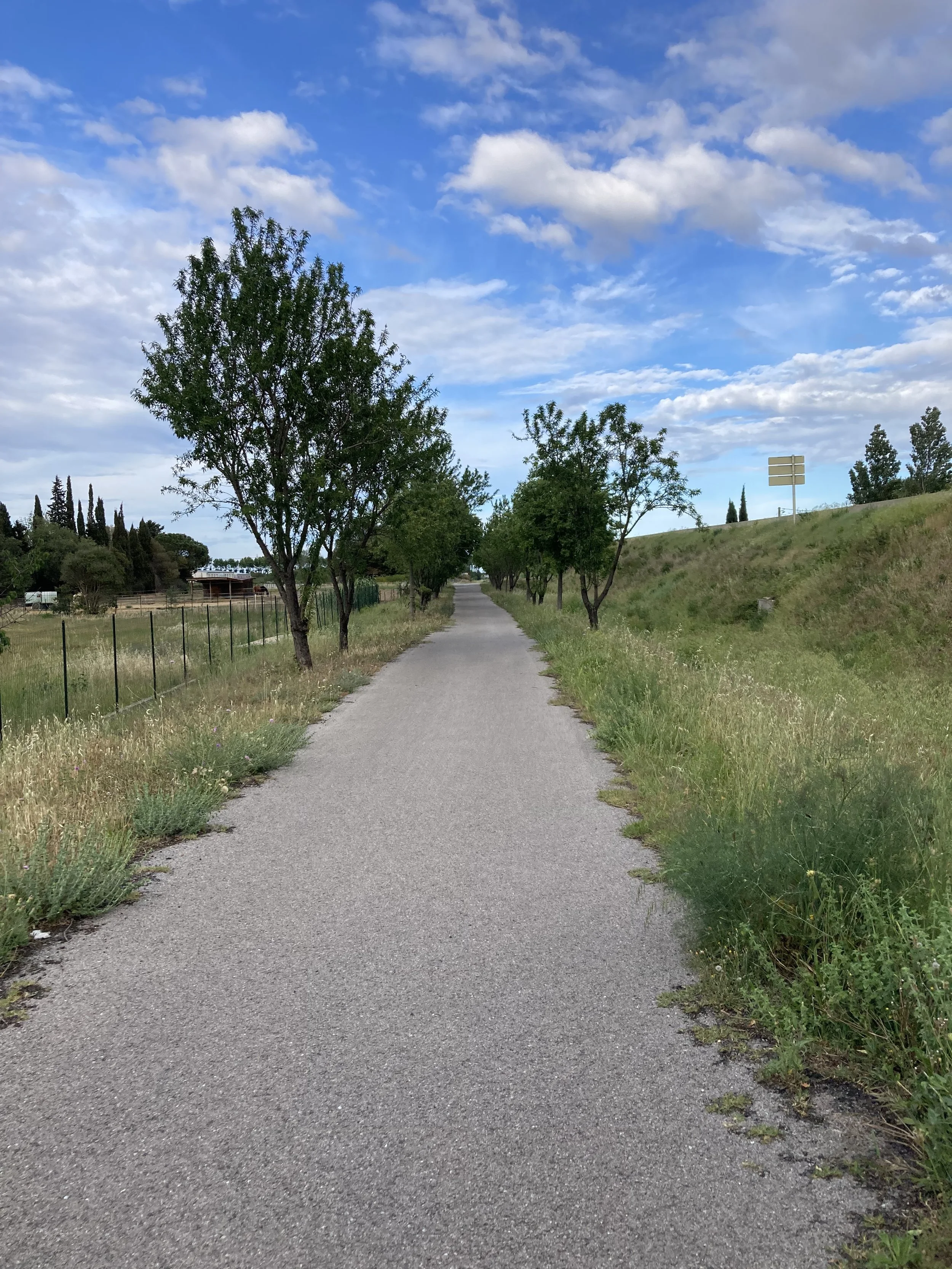
The route was good smooth flat asphalt, and the headwind had relented so I was able to make good speed. There was a slightly hairy bridge crossing, a scenic trip through the outskirts of Saint Cyprien, and then a climb up to the water tower. I was just starting to wonder if I’d made a mistake with the map when the hotel appeared - right under the water tower!
I washed everything (probably a mistake) and went out for a three-course dinner at a small French restaurant, which was far too much food. I regret nothing.
Glad to get into France! Hope there’s less mud tomorrow.
What I’m listening to: “Sailor” by Starry.K: https://www.youtube.com/watch?v=Uj9HOM4IxpE
Probably a pseudonym of the Metal Gear Solid series composer Norihiko Hibino, who probably gets a bit bored of writing music for stealth, action and operatic drama, which are the main pillars of this franchise!


