May 25: Day 28, Bingen-Bonn
The hostel had a place card for me this morning! Well, there was a place card at every table, usually saying something like "Smits Family" or "Young Rambler Group". (They're set up for groups and school trips.) So it wasn't really special treatment, but I'm still feeling special.
It was 40eur for bed and breakfast. Breakfast was coffee, museli, yoghurt, fruit - everything I could (reasonably!) ask for. Clean and well run and a bit minimal, but I'd happily stay there again.
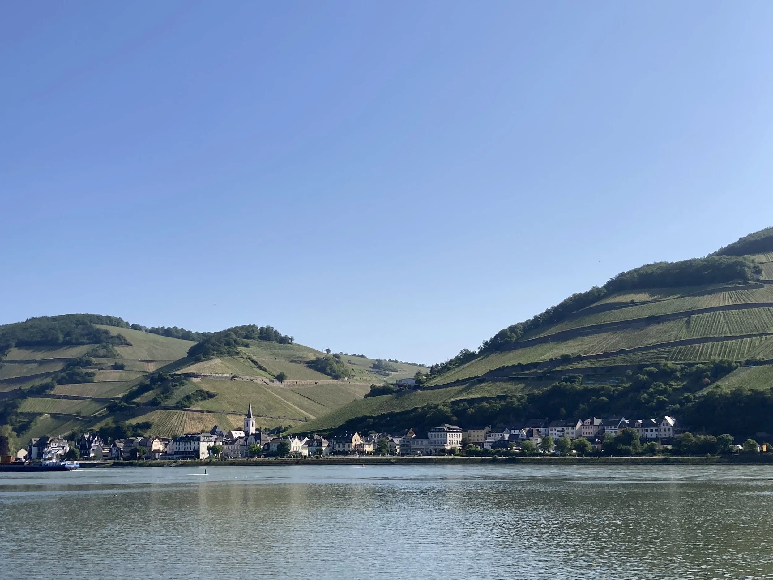
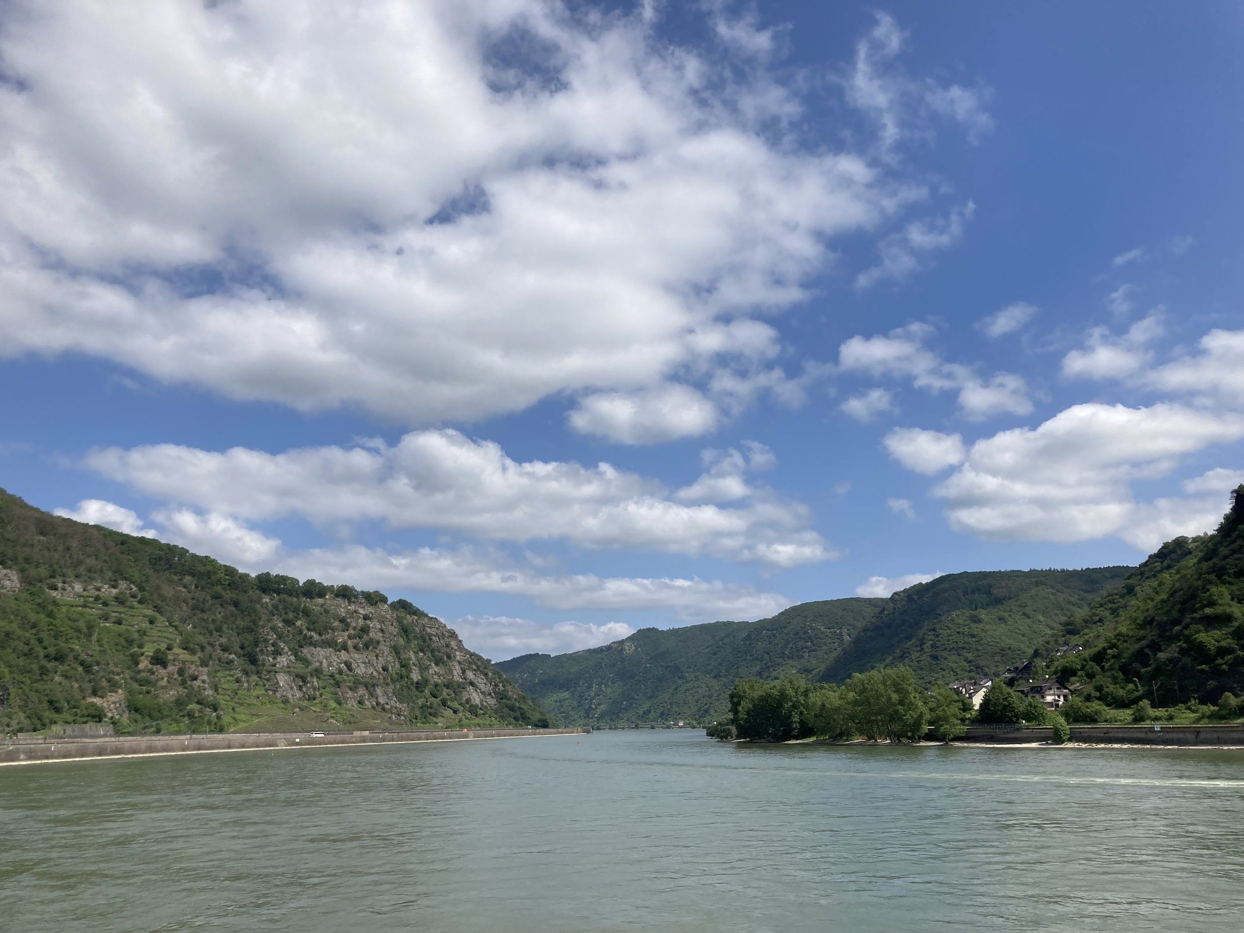
Today's route was following the Rhine for 120km. Did I mention the Rhine is spectacular? It's a winding river valley, forested, with regular castles along the way. So the route winds back and forth on the side of the river. The sun was out but it wasn't too hot; there was a headwind but that can't be helped.
The cyclepath was wide, uncomplicated, and flat. There's towns every few kilometers, making this easy going. In the summer I expect this is a very popular cycle route! There were quite a few other cyclists even now; only a few going my way but I regularly passed cyclists going the other way.
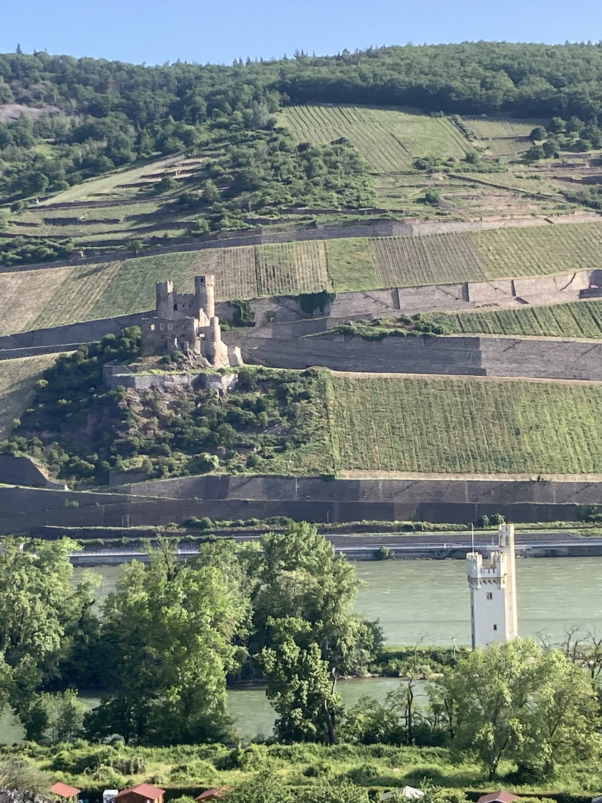
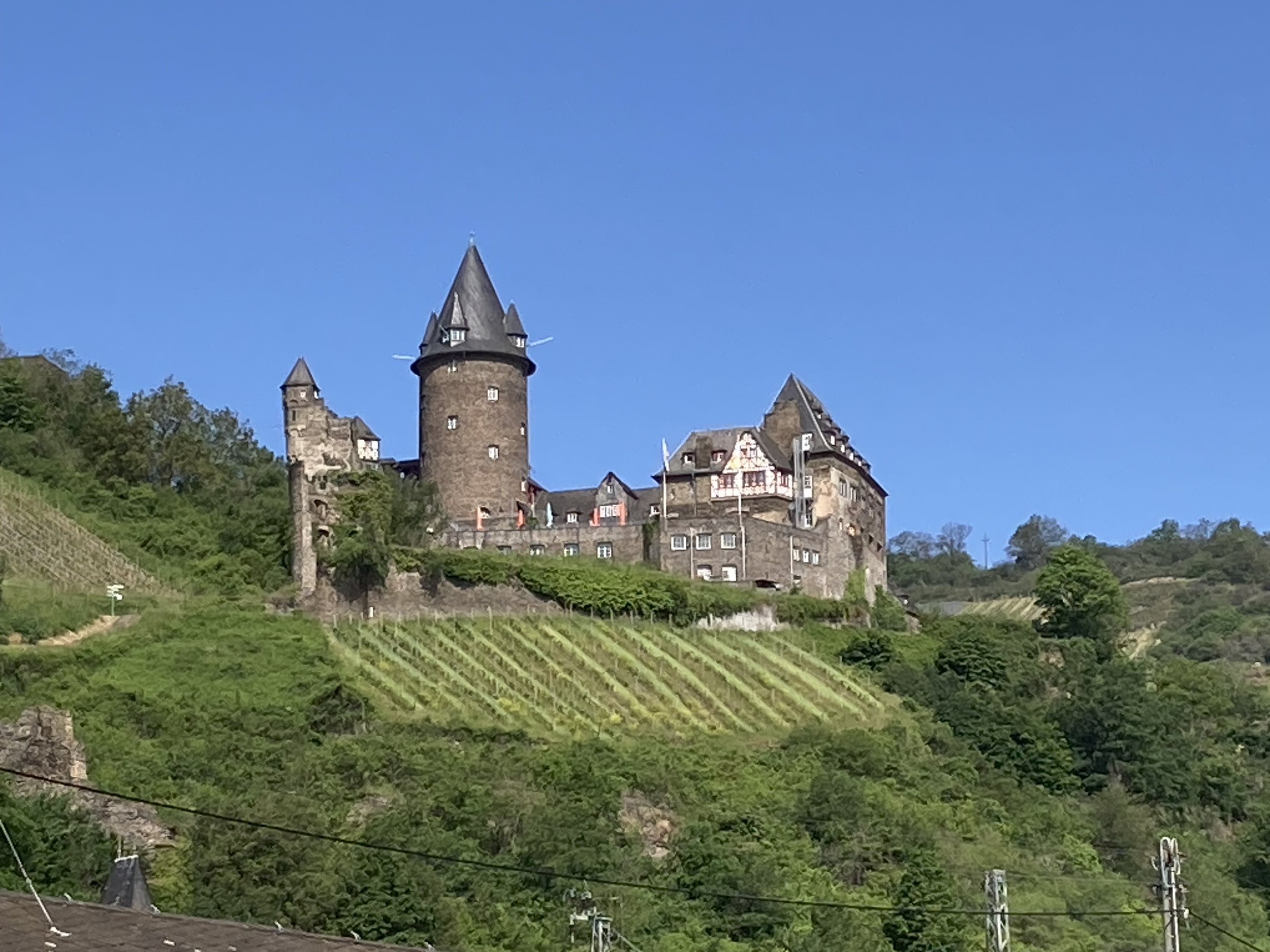
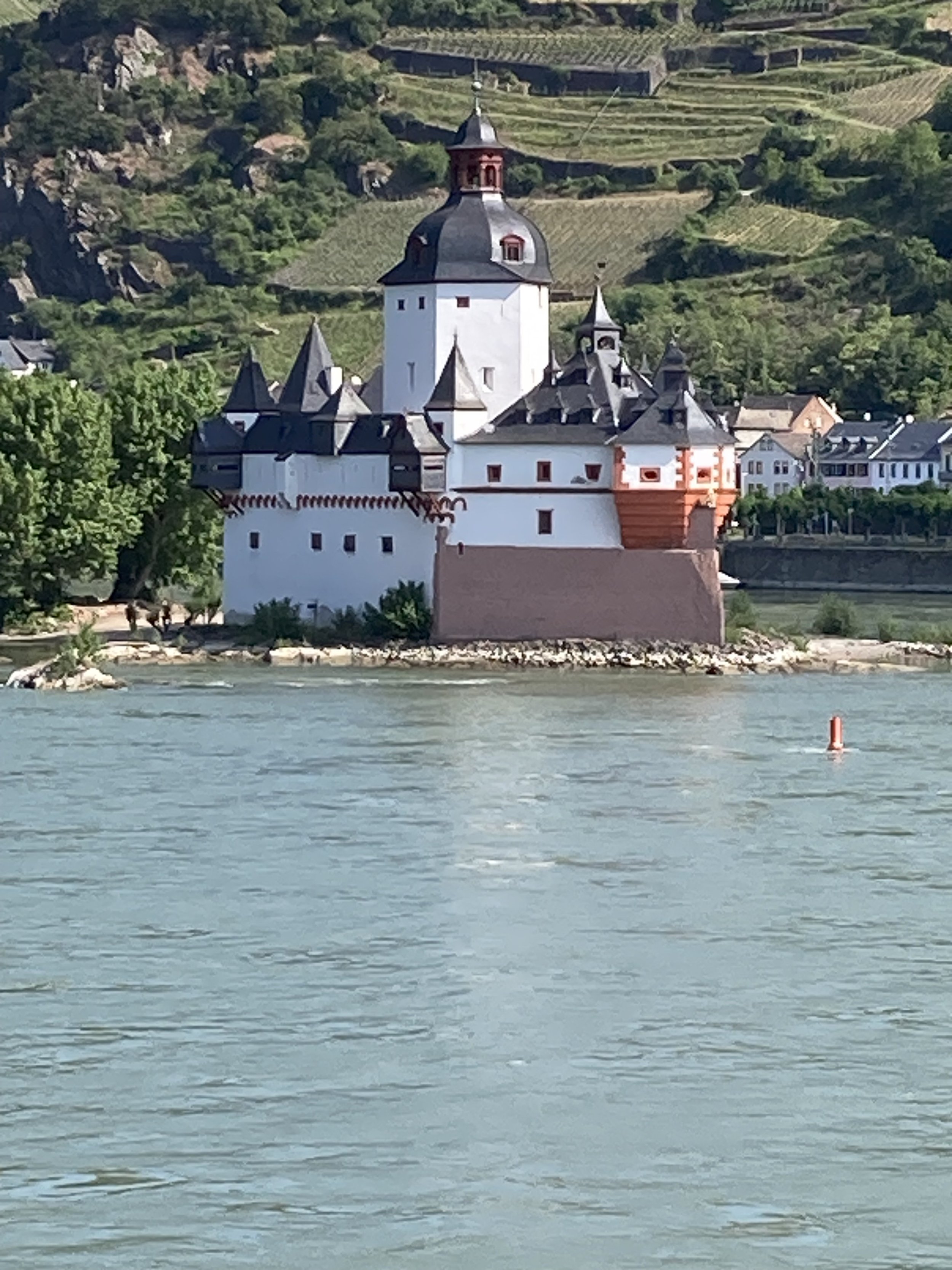
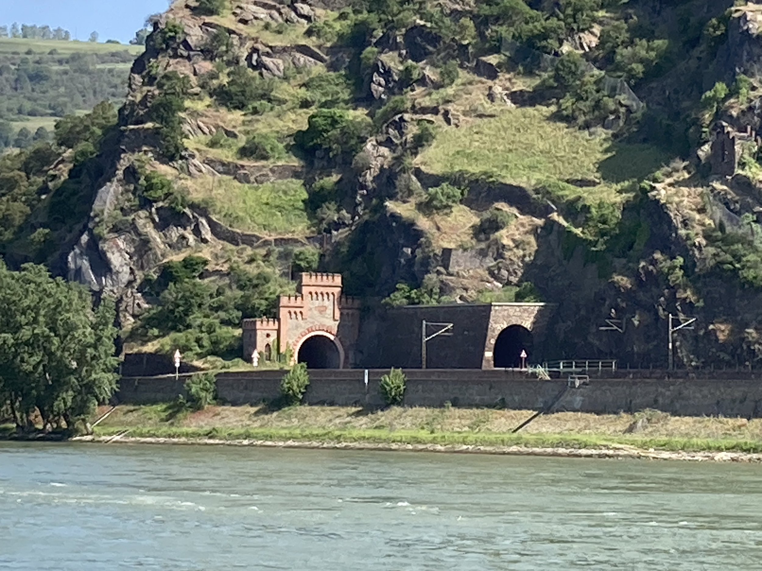
From left to right: view from the hostel at the start. The Rhine valley in the morning - good cycling weather. Castle on the ridgeline. Castle on an island. Ornamented tunnel entrances.
Well, for the first half anyway. Around Boppard or Spay the route got a little bit less glamorous; it didn't follow the riverbank but the roadside. If you're planning a cycling holiday, plan it south of here.
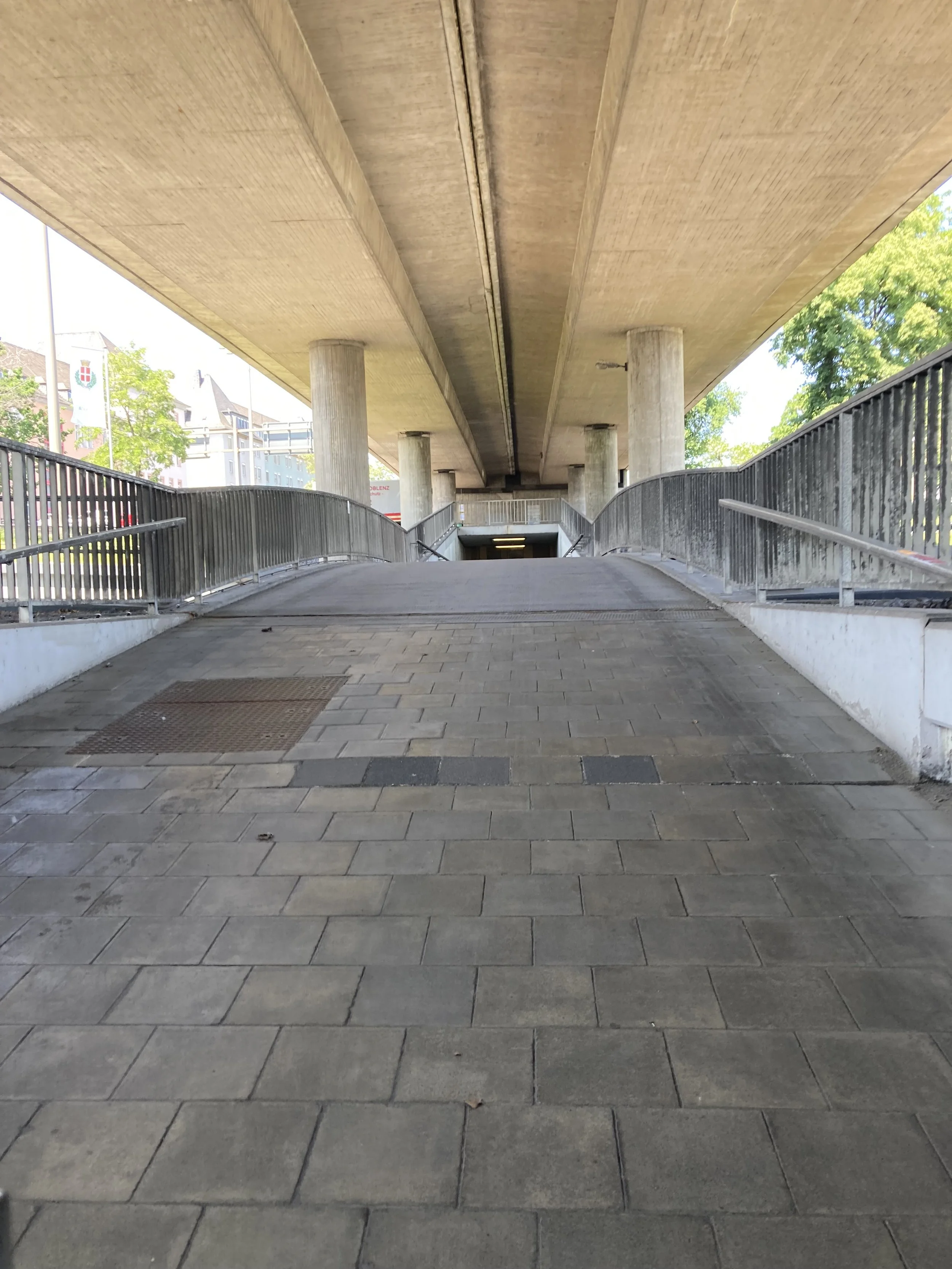
I stopped in Koblenz for lunch. I don't know if Koblenz is actually big enough to be called a city, but it sprawls like one. It took about half an hour to get out of town - but the cycle route was creative. There's a big multilevel roundabout/junction in the center of town which has a cyclepath intersection woven through it. I starting with an underpass under the road, then a sublevel bridge which went over a highway, but under the top roads, then another underpass before getting back to the surface. And that whole section was wide enough for bicycle rush hour. Complicated stuff, and expensive, and able to support a lot of bikes.
In short: the cyclepaths work! And I'm very interested to know if they were added after the roads were built, or included in the design.
North of Koblenz the route was more like a second-class customer; it was still safe and connected but ended up shoved into strange corners. At one point the route took an underpass to end up inland of both the road and railway as it passed along a slope nearly cliff-steep. The cyclepath was above the railway line for half a kilometer, and the road was further down. Being Germany the cycleroute was safe, well-engineered and maintained though!
Unfortunately, my arrival time estimate kept slipping. I haven't complained about the headwind today, but it was the problem. There were some places where it came from an off-angle or I was in shelter and there was no headwind at all. But when the route was by the river, there was no protection and it was strong.
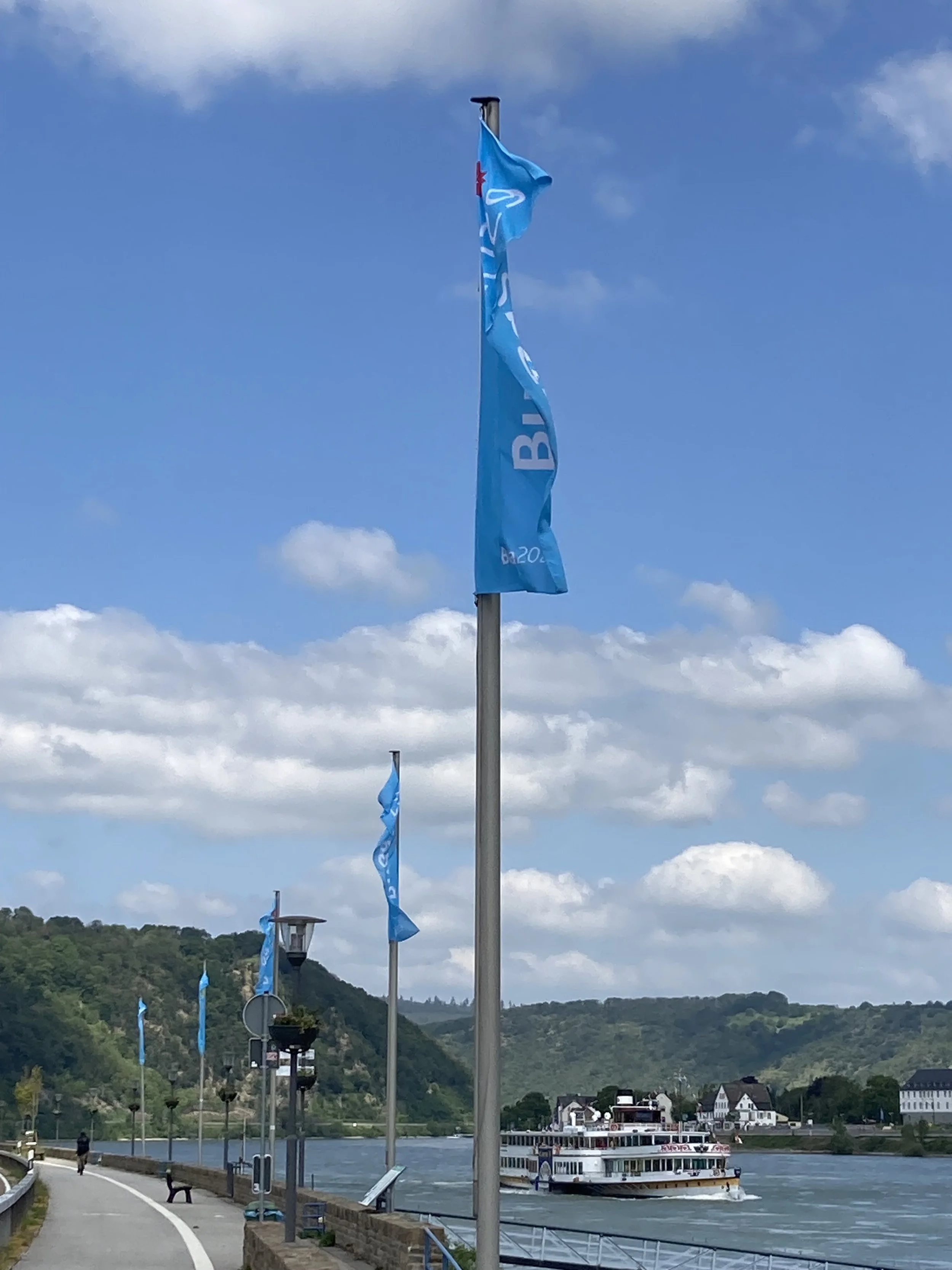
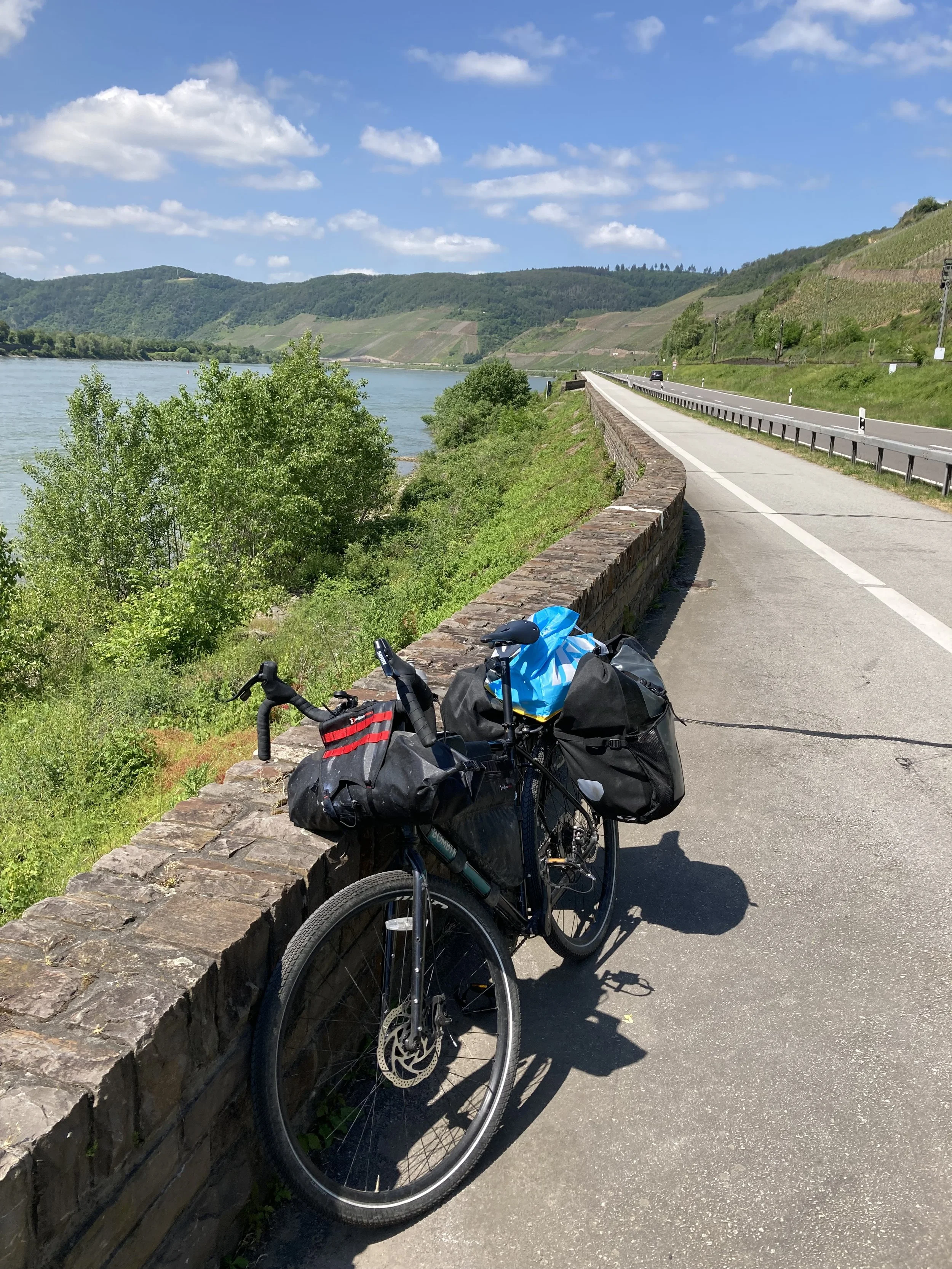
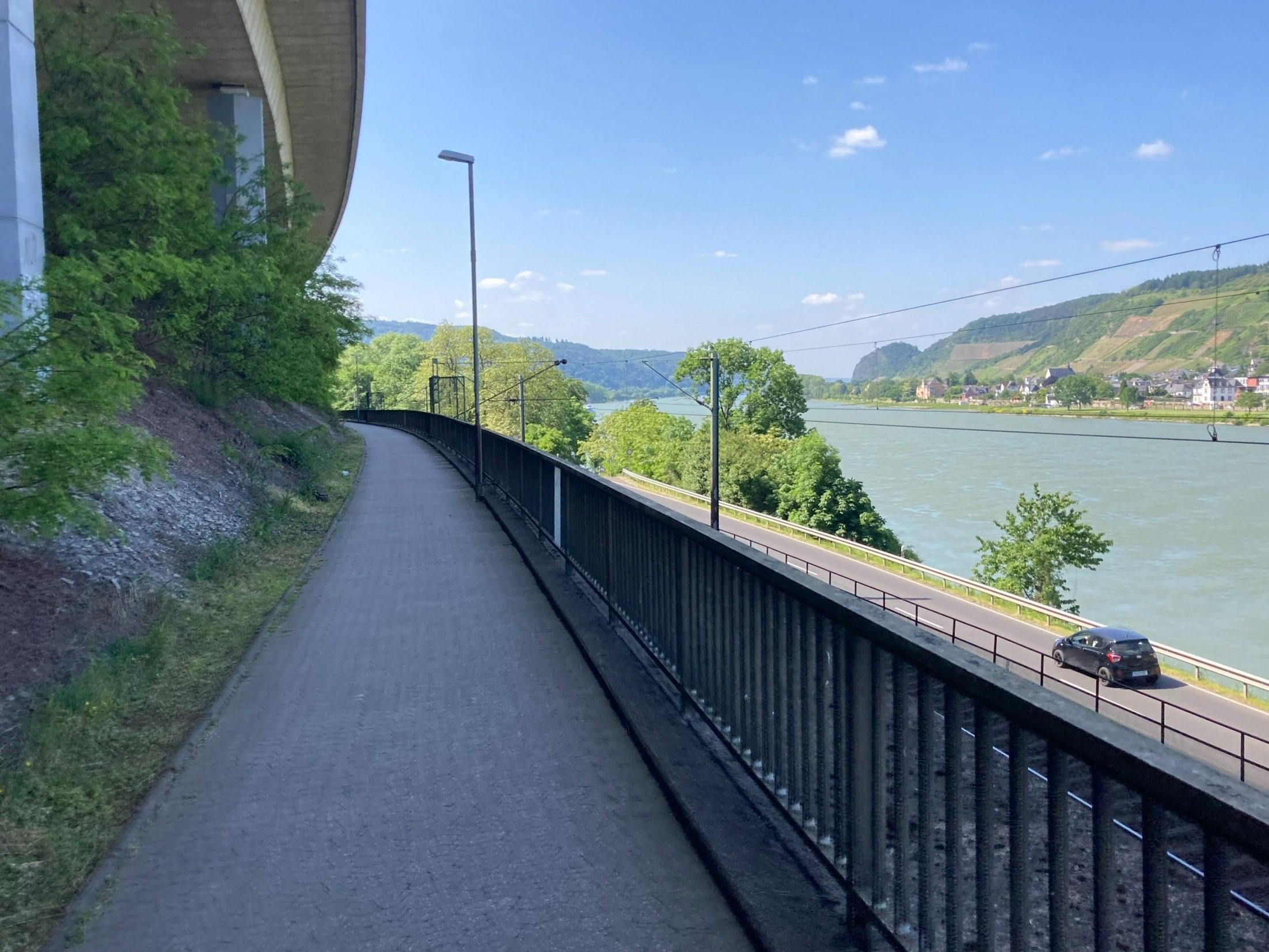
From left to right: more views of the Rhine. Headwind. Bike in the Rhine. Underpass/overpass. And an elevated section, the railway and road are below.
I was hoping to get in about 5 but ended up arriving a bit after 6. One more day of riding tomorrow to Dusseldorf and then it's the mid-journey break, I'm going back home to Amsterdam for four days. I’m overdue for a break!